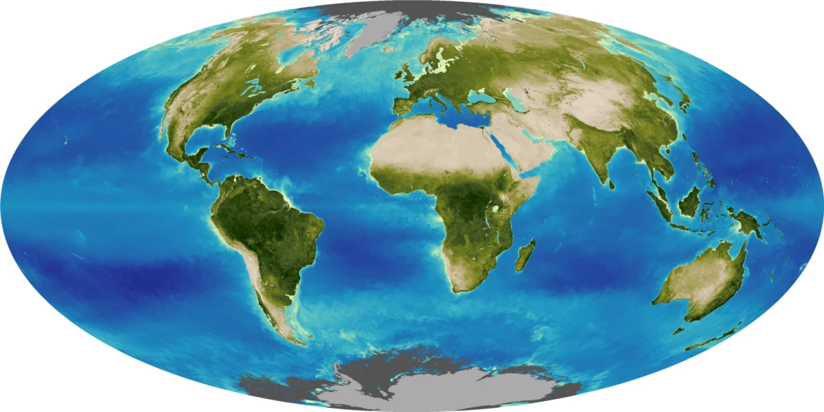
The sprawling urban landscape of Monterrey, Mexico’s second-largest metropolitan area, presents a striking contrast against the dramatic, folded rock layers of the Sierra Madre Oriental. This compelling geological and urban interface was recently captured in an "Image of the Day" by an astronaut aboard the International Space Station (ISS) on August 26, 2026, and highlighted by NASA on September 11, 2026. The photograph offers a unique orbital perspective on the dynamic interplay between human development and ancient geological forces that shape one of Mexico’s most vital industrial centers.
An Orbital Perspective: Monterrey’s Unique Geography
The image, acquired by a member of the Expedition 75 crew using a Nikon Z9 digital camera with a 400-millimeter focal length, showcases the distinctive curving, parallel mountain ridges that define northeastern Mexico’s topography. From an altitude of approximately 400 kilometers (250 miles), the astronaut’s lens meticulously framed the point where these formidable geological structures seamlessly merge with the city’s expanding footprint. This visual juxtaposition not only provides a breathtaking view but also offers invaluable data for urban planners, geologists, and environmental scientists studying the challenges and opportunities presented by such complex environments. The ISS Crew Earth Observations Facility and the Earth Science and Remote Sensing Unit at NASA Johnson Space Center make these images freely available, underscoring NASA’s commitment to Earth science and public engagement.
The Sierra Madre Oriental: A Geological Masterpiece
The Sierra Madre Oriental mountain range, an imposing natural boundary along Monterrey’s southern edge, is a testament to millions of years of profound geological activity. Its prominent ridgelines are composed primarily of limestone layers, originally deposited during the late Mesozoic era—a period roughly spanning 252 to 66 million years ago, known for the dominance of dinosaurs and the formation of significant sedimentary basins. These marine sediments, rich in calcium carbonate, accumulated over vast stretches of time in ancient seas.
Around 80 to 50 million years ago, during the Laramide Orogeny, immense compressional forces, driven by the subduction of the Farallon Plate beneath the North American Plate, began to uplift and intensely fold these once-flat rock layers. This tectonic collision resulted in the dramatic anticlines and synclines—upward and downward folds—that characterize the Sierra Madre Oriental. Over subsequent millennia, differential erosion, where weaker rock layers succumb more readily to weathering, sculpted the landscape, leaving behind the distinct, resistant ridgelines that are visible today and that physically define Monterrey’s urban limits. This geological history not only dictates the city’s physical expansion but also influences its hydrological patterns and even its seismic profile, making the understanding of these ancient formations critical for modern urban planning.

Monterrey: A Metropolis Forged by Industry and Topography
Monterrey, the capital of the state of Nuevo León, stands as a crucial industrial hub within Mexico. Its economic prowess is rooted in heavy industries such as ironworks and steelworks, alongside a diverse manufacturing sector producing goods ranging from textiles to processed foods, glass, and plastics. This industrial foundation has propelled Monterrey to become Mexico’s second-largest metropolitan area, boasting a population of 5.3 million people according to the 2020 census, a figure that continues to grow.
The city’s rapid development began in earnest in the late 19th and early 20th centuries, fueled by its strategic location and abundant natural resources, including coal and iron ore in nearby regions. This growth trajectory has seen a significant overall population increase since 1990. However, researchers have observed a notable trend: while the metropolitan area expands, the number of residents living within 5 kilometers (3 miles) of the city center has declined. This pattern of suburbanization and central urban depopulation is not unique to Monterrey but is a shared trajectory with many other major metropolitan areas across Mexico, reflecting shifts in urban planning, infrastructure development, and socioeconomic factors that draw residents to the periphery. The expansion faces unique challenges in Monterrey due to the unforgiving mountainous terrain, which restricts development in certain directions and forces infrastructure to adapt to steep slopes and narrow valleys. This has led to innovative engineering solutions but also increased costs for housing and transport in some areas.
The Río Santa Catarina: Lifeline in a Semiarid Landscape
Carving its path through the mountains and across the semiarid floodplain where Monterrey thrives, the Río Santa Catarina is an indispensable, albeit often dry, feature of the landscape. Due to the region’s arid to semi-arid climate, the river typically carries little to no water for extended periods. However, its significance cannot be overstated. The river channel acts as a vital conduit for collecting runoff during the intense summer rains, playing a critical role in the city’s flood mitigation strategy. Without this natural drainage system, Monterrey would be far more vulnerable to flash floods, which can be devastating in urban environments.
Beyond its hydrological function, the Río Santa Catarina corridor serves as a crucial natural area within the dense urban fabric. Despite intermittent flow, its banks support a unique ecosystem of riparian vegetation and provide essential habitats for various plant and animal species adapted to these challenging conditions. This green artery offers a sliver of biodiversity, providing ecological services such as air purification, temperature regulation, and a psychological respite for the city’s inhabitants. Conservation efforts, often spearheaded by local environmental groups and academic institutions, focus on preserving and restoring this delicate ecosystem, recognizing its immense environmental and social value.
Guardians of Biodiversity: Sierra Las Mitras and Cerro de la Silla

The Río Santa Catarina’s course through Monterrey’s urban core is punctuated by several island-like protrusions of folded rock, each a distinctive landmark and an ecological haven. Among these is the Sierra Las Mitras, a majestic mountain ridge that rises approximately 1,500 meters (4,900 feet) above the city. Recognized for its ecological importance, Sierra Las Mitras was designated a state nature reserve in 2000, ensuring its protection for future generations. This reserve provides a critical sanctuary for wildlife, acting as a green lung for the metropolitan area.
The ecological diversity within Sierra Las Mitras is remarkable. As elevation increases, cooler temperatures and higher moisture levels support a transition in vegetation zones. The lower, rocky slopes are characterized by resilient cacti and thorny shrubs, species well-adapted to arid conditions. Moving higher up the ridge, these give way to lush oak and pine forests, which thrive in the more temperate and humid microclimates. This altitudinal zonation supports a wide array of fauna, including various bird species, small mammals, and reptiles, many of which are endemic to the region.
Another iconic feature dominating Monterrey’s skyline is Cerro de la Silla, affectionately known as "Saddle Hill" due to its distinctive shape. This prominent peak, visible from almost anywhere in the city, offers a dramatic natural contrast to the built environment. Like Sierra Las Mitras, Cerro de la Silla is a symbol of Monterrey’s unique geographical identity and a reminder of the powerful natural forces that continue to shape the region. Its slopes also host diverse ecosystems, serving as an important area for recreation, scientific study, and local pride.
From Orbit to Innovation: NASA’s Role in Earth Science and Engagement
The astronaut’s photograph of Monterrey is more than just a beautiful image; it is a tangible outcome of NASA’s ongoing commitment to Earth observation from the International Space Station. The ISS serves as a unique orbital laboratory, providing a stable platform for long-term monitoring of our planet’s ever-changing surface. Astronauts are trained to capture images of Earth that are of the greatest scientific value, focusing on phenomena ranging from urban growth and deforestation to natural disasters and climate patterns. These images contribute to a vast archive, the Gateway to Astronaut Photography of Earth, which is freely accessible to scientists and the public worldwide.
The ISS National Lab program further supports this endeavor, ensuring that Earth observations from space contribute directly to scientific research and public understanding. The photographs allow researchers to track urban expansion, monitor environmental changes, and assess the impact of human activities on natural landscapes. For a city like Monterrey, an orbital view helps illustrate the challenges of managing growth in a geologically constrained environment and highlights areas where environmental conservation efforts are crucial. NASA’s work in this area underscores its broader mission: to explore the universe and discover more about our home planet, fostering a deeper appreciation for Earth’s complexity and fragility.
Fostering Future Innovators: The NASA Space Apps Challenge
Adding another layer to Monterrey’s connection with space and science, the city is a host venue for the annual NASA Space Apps Challenge in November 2026. This global hackathon, a testament to NASA’s commitment to public engagement and STEM education, invites teams from around the world to use NASA and partner agency data to address real-world challenges. Universidad de Monterrey, strategically located near the city’s border with the Sierra Madre Oriental, will serve as a key in-person and virtual hub for this event.
The Space Apps Challenge provides a unique platform for aspiring scientists, engineers, coders, and innovators to collaborate on solutions in diverse fields such as software development, astrophysics, space exploration, and agriculture. Participants tackle challenges designed to push the boundaries of creativity and problem-solving, leveraging publicly available datasets, including satellite imagery, climate data, and astronomical observations. The selection of Universidad de Monterrey as a host venue reflects the city’s strong academic and technological infrastructure, as well as its growing reputation as a center for innovation in Mexico. Such events not only inspire the next generation of scientists and engineers but also generate novel solutions that can have tangible impacts on Earth and in space. It provides a direct link between the orbital observations captured by astronauts and the practical application of that data by global communities.
Navigating the Future: Urban Growth, Environment, and Observation
The image of Monterrey, framed by the ancient folds of the Sierra Madre Oriental, encapsulates a microcosm of global challenges: the inexorable march of urban development, the imperative of environmental stewardship, and the power of scientific observation to inform our understanding and guide our future. Monterrey’s trajectory of population growth and industrial expansion, coupled with the natural constraints of its rugged topography and semiarid climate, necessitates thoughtful and sustainable urban planning.
The insights gained from orbital photography, alongside ground-based research, are vital for crafting policies that balance economic development with ecological preservation. As urban centers like Monterrey continue to expand, the protection of critical natural assets like the Río Santa Catarina and the Sierra Las Mitras nature reserve becomes increasingly paramount. These areas are not just scenic backdrops but essential components of the city’s ecological health and resilience.
The NASA Space Apps Challenge further underscores the collaborative spirit required to address these complex issues. By empowering diverse teams to innovate with real scientific data, it bridges the gap between scientific discovery and practical application. Monterrey stands as a compelling example of a city at the forefront of this interaction, where the ancient Earth meets modern ingenuity, all under the watchful eye of astronauts orbiting hundreds of miles above. The long-term implications of these interactions will shape not only Monterrey’s future but also offer lessons for other urban areas grappling with similar challenges across the globe, emphasizing the critical role of integrated approaches to sustainability and development.